UAV Surveying
 P&D is on the cutting edge of unmanned aerial vehicle (UAV) surveying. UAVs deliver an efficient, cost-effective, and safe method of data acquisition for both large and small projects.
Our FAA Part 107 certified pilots have completed numerous projects with drones, including 1000-acre topographic mapping. Data is easily converted using multiple software platforms and is delivered via point clouds, JPEGS, AutoCAD, MicroStation, etc.
Our drone surveying services include, but are not limited to:
- Topographic mapping
- Photogrammetry
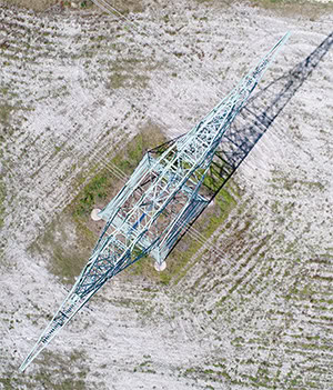
- Transmission lines
- Gas and petroleum pipelines
- Substations
- Route surveys
- Roadway corridors
- Thermal imaging
- Environmental mapping
