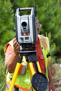
Geomatics
Geomatics is the integrated approach of measuring, analyzing, managing, storing, and displaying two and three-dimensional Earth-based spatial data. Classic surveying techniques depended on standard tripod-mounted surveying tools. Now, those tools combined with digital imagery and geographic information system framework collect and organize data using state-of-the-art technology.